- HOME
- SOLDIER RESEARCH
- WOLVERTONS AMATEUR MILITARY TRADITION
- BUCKINGHAMSHIRE RIFLE VOLUNTEERS 1859-1908
- BUCKINGHAMSHIRE BATTALION 1908-1947
- The Bucks Battalion A Brief History
- REGIMENTAL MARCH
-
1ST BUCKS 1914-1919
>
- 1914-15 1/1ST BUCKS MOBILISATION
- 1915 1/1ST BUCKS PLOEGSTEERT
- 1915-16 1/1st BUCKS HEBUTERNE
- 1916 1/1ST BUCKS SOMME JULY 1916
- 1916 1/1st BUCKS POZIERES WAR DIARY 17-25 JULY
- 1916 1/1ST BUCKS SOMME AUGUST 1916
- 1916 1/1ST BUCKS LE SARS TO CAPPY
- 1917 1/1ST BUCKS THE GERMAN RETIREMENT
- 1917 1/1st BUCKS TOMBOIS FARM
- 1917 1/1ST BUCKS THE HINDENBURG LINE
- 1917 1/1ST BUCKS 3RD BATTLE OF YPRES
- 1917 1/1st BUCKS 3RD YPRES 16th AUGUST
- 1917 1/1st BUCKS 3RD YPRES WAR DIARY 15-17 JULY
- 1917 1/1ST BUCKS 3RD BATTLE OF YPRES - VIMY
- 1917-18 1/1ST BUCKS ITALY
-
2ND BUCKS 1914-1918
>
- 1914-1916 2ND BUCKS FORMATION & TRAINING
- 1916 2/1st BUCKS ARRIVAL IN FRANCE
- 1916 2/1st BUCKS FROMELLES
- 1916 2/1st BUCKS REORGANISATION
- 1916-1917 2/1st BUCKS THE SOMME
- 1917 2/1st BUCKS THE GERMAN RETIREMENT
- 1917 2/1st BUCKS ST QUENTIN APRIL TO AUGUST 1917
- 1917 2/1st BUCKS 3RD YPRES
- 1917 2/1st BUCKS ARRAS & CAMBRAI
- 1918 2/1st BUCKS ST QUENTIN TO DISBANDMENT
-
1ST BUCKS 1939-1945
>
- 1939-1940 1BUCKS MOBILISATION & NEWBURY
- 1940 1BUCKS FRANCE & BELGIUM
- 1940 1BUCKS HAZEBROUCK
- HAZEBROUCK BATTLEFIELD VISIT
- 1940-1942 1BUCKS
- 1943-1944 1BUCKS PREPARING FOR D DAY
- COMPOSITION & ROLE OF BEACH GROUP
- BROAD OUTLINE OF OPERATION OVERLORD
- 1944 1ST BUCKS NORMANDY D DAY
- 1944 1BUCKS 1944 NORMANDY TO BRUSSELS (LOC)
- Sword Beach Gallery
- 1945 1BUCKS 1945 FEBRUARY-JUNE T FORCE 1st (CDN) ARMY
- 1945 1BUCKS 1945 FEBRUARY-JUNE T FORCE 2ND BRITISH ARMY
- 1945 1BUCKS JUNE 1945 TO AUGUST 1946
- BUCKS BATTALION BADGES
- BUCKS BATTALION SHOULDER TITLES 1908-1946
- 1939-1945 BUCKS BATTALION DRESS >
- ROYAL BUCKS KINGS OWN MILITIA
- BUCKINGHAMSHIRE'S LINE REGIMENTS
- ROYAL GREEN JACKETS
- OXFORDSHIRE & BUCKINGHAMSHIRE LIGHT INFANTRY 1741-1965
- OXF & BUCKS LI INSIGNIA >
- REGIMENTAL CUSTOMS & TRADITIONS >
- REGIMENTAL COLLECT AND PRAYER
- OXF & BUCKS LI REGIMENTAL MARCHES
- REGIMENTAL DRILL >
-
REGIMENTAL DRESS
>
- REGIMENTAL UNIFORM 1741-1896
- REGIMENTAL UNIFORM 1741-1914
- 1894 REGIMENTAL DRESS
- 1897 OFFICERS DRESS REGULATIONS
- 1900 DRESS REGULATIONS
- 1931 REGIMENTAL DRESS
- 1939-1945 REGIMENTAL DRESS
- 1950 OFFICERS DRESS REGULATIONS
- 1960 OFFICERS DRESS REGULATIONS (TA)
- 1960 REGIMENTAL MESS DRESS
- 1963 REGIMENTAL DRESS
- 1958-1969 REGIMENTAL DRESS
- HEADDRESS >
- REGIMENTAL CREST
- BATTLE HONOURS
- REGIMENTAL COLOURS >
- BRIEF HISTORY
- REGIMENTAL CHAPEL, OXFORD >
-
THE GREAT WAR 1914-1918
>
- REGIMENTAL BATTLE HONOURS 1914-1919
- OXF & BUCKS LI 1914-1919 SUMMARY INTRODUCTION
- 1 OXF & BUCKS LI 1914-1919 SUMMARY
- 2 OXF & BUCKS LI 1914-1919 SUMMARY
- 1/4 OXF & BUCKS LI 1914-1918 SUMMARY
- 2/4 OXF & BUCKS LI 1914-1918 SUMMARY
- 1/1 BUCKS BATTALION 1914-1918 SUMMARY
- 2/1 BUCKS BATTALION 1914-1918 SUMMARY
- 5 (SERVICE) OXF & BUCKS LI 1914-1918 SUMMARY
- 6 (SERVICE) OXF & BUCKS LI 1914-1918 SUMMARY
- 7 (SERVICE) OXF & BUCKS LI 1914-1918 SUMMARY
- 8 (SERVICE) OXF & BUCKS LI 1914-1918 SUMMARY
- 1st GREEN JACKETS (43rd & 52nd) 1958-1965
- 1ST GREEN JACKETS (43RD & 52ND) 1958-1965
- 1959 1ST GREEN JACKETS (43RD & 52ND)
- 1959 REGIMENTAL MARCH IN OXFORD
- 1959 DEMONSTRATION BATTALION
- 1960 1ST GREEN JACKETS (43RD & 52ND)
- 1961 1ST GREEN JACKETS (43RD & 52ND)
- 1961 THE LONGEST DAY
- 1962 1ST GREEN JACKETS (43RD & 52ND)
- 1963 1ST GREEN JACKETS (43RD & 52ND)
- 1963 CONVERSION TO “RIFLE” REGIMENT
- 1964 1ST GREEN JACKETS (43RD & 52ND)
- 1965 1ST GREEN JACKETS (43RD & 52ND)
- 1965 FORMATION OF ROYAL GREEN JACKETS
- REGULAR BATTALIONS 1741-1958
-
1st BATTALION (43rd LIGHT INFANTRY)
>
-
43rd LIGHT INFANTRY 1741-1914
>
- 43rd REGIMENT 1741-1802
- 43rd LIGHT INFANTRY 1803-1805
- 43rd LIGHT INFANTRY 1806-1809
- 43rd LIGHT INFANTRY 1809-1810
- 43rd LIGHT INFANTRY 1810-1812
- 43rd LIGHT INFANTRY 1812-1814
- 43rd LIGHT INFANTRY 1814-1818
- 43rd LIGHT INFANTRY 1818-1854
- 43rd LIGHT INFANTRY 1854-1863
- 43rd LIGHT INFANTRY 1863-1865
- 43rd LIGHT INFANTRY 1865-1897
- 43rd LIGHT INFANTRY 1899-1902
- 43rd LIGHT INFANTRY 1902-1914
-
1 OXF & BUCKS LI 1914-1919
>
-
1 OXF & BUCKS LI 1920-1939
>
- 1 OXF & BUCKS LI - 1919
- 1 OXF & BUCKS LI - 1920
- 1 OXF & BUCKS LI - 1921
- 1 OXF & BUCKS LI - 1922
- 1 OXF & BUCKS LI - 1923
- 1 OXF & BUCKS LI - 1924
- 1 OXF & BUCKS LI - 1925
- 1 OXF & BUCKS LI - 1926
- 1 OXF & BUCKS LI - 1927
- 1 OXF & BUCKS LI - 1928
- 1 OXF & BUCKS LI - 1929
- 1 OXF & BUCKS LI - 1930
- 1 OXF & BUCKS LI - 1931
- 1 OXF & BUCKS LI - 1932
- 1 OXF & BUCKS LI - 1933
- 1 OXF & BUCKS LI - 1934
- 1 OXF & BUCKS LI - 1935
- 1 OXF & BUCKS LI - 1936
- 1 OXF & BUCKS LI - 1937
- 1 OXF & BUCKS LI - 1938
- 1 OXF & BUCKS LI - 1939
- 1 OXF & BUCKS LI 1939-1945 >
-
1 OXF & BUCKS 1946-1958
>
- 1 OXF & BUCKS LI - 1946
- 1 OXF & BUCKS LI - 1947
- 1 OXF & BUCKS LI - 1948
- 1948 FREEDOM PARADES
- 1 OXF & BUCKS LI - 1949
- 1 OXF & BUCKS LI - 1950
- 1 OXF & BUCKS LI - 1951
- 1 OXF & BUCKS LI - 1952
- 1 OXF & BUCKS LI - 1953
- 1 OXF & BUCKS LI - 1954
- 1 OXF & BUCKS LI - 1955
- 1 OXF & BUCKS LI - 1956
- 1 OXF & BUCKS LI - 1957
- 1 OXF & BUCKS LI - 1958
-
43rd LIGHT INFANTRY 1741-1914
>
-
2nd BATTALION (52nd LIGHT INFANTRY)
>
- 52nd LIGHT INFANTRY 1755-1881 >
- 2 OXF LI 1881-1907
- 2 OXF & BUCKS LI 1908-1914
-
2 OXF & BUCKS LI 1914-1919
>
-
2 OXF & BUCKS LI - 1919-1939
>
- 2 OXF & BUCKS LI - 1919
- 2 OXF & BUCKS LI - 1920
- 2 OXF & BUCKS LI - 1921
- 2 OXF & BUCKS LI - 1922
- 2 OXF & BUCKS LI - 1923
- 2 OXF & BUCKS LI - 1924
- 2 OXF & BUCKS LI - 1925
- 2 OXF & BUCKS LI - 1926
- 2 OXF & BUCKS LI - 1927
- 2 OXF & BUCKS LI - 1928
- 2 OXF & BUCKS LI - 1929
- 2 OXF & BUCKS LI - 1930
- 2 OXF & BUCKS LI - 1931
- 2 OXF & BUCKS LI - 1932
- 2 OXF & BUCKS LI - 1933
- 2 OXF & BUCKS LI - 1934
- 2 OXF & BUCKS LI - 1935
- 2 OXF & BUCKS LI - 1936
- 2 OXF & BUCKS LI - 1937
- 2 OXF & BUCKS LI - 1938
- 2 OXF & BUCKS LI - 1939
-
2 OXF & BUCKS LI 1939-1945
>
- 1939-1941
- 1941-1943 AIRBORNE INFANTRY
- 1944 PREPARATION FOR D DAY
- 1944 PEGASUS BRIDGE-COUP DE MAIN
- Pegasus Bridge Gallery
- Horsa Bridge Gallery
- COUP DE MAIN NOMINAL ROLL
- MAJOR HOWARDS ORDERS
- 1944 JUNE 6
- D DAY ORDERS
- 1944 JUNE 7-13 ESCOVILLE & HEROUVILETTE
- Escoville & Herouvillette Gallery
- 1944 JUNE 13-AUGUST 16 HOLDING THE BRIDGEHEAD
- 1944 AUGUST 17-31 "PADDLE" TO THE SEINE
- "Paddle To The Seine" Gallery
- 1944 SEPTEMBER ARNHEM
- OPERATION PEGASUS 1
- 1944/45 ARDENNES
- 1945 RHINE CROSSING
- OPERATION VARSITY - ORDERS
- OPERATION VARSITY BATTLEFIELD VISIT
- 1945 MARCH-JUNE
- 2 OXF & BUCKS LI DRESS 1940-1945 >
- 2 OXF & BUCKS LI 1946-1947 >
-
1st BATTALION (43rd LIGHT INFANTRY)
>
- MILITIA BATTALIONS
- TERRITORIAL BATTALIONS
- WAR RAISED/SERVICE BATTALIONS 1914-18 & 1939-45
-
5th, 6th, 7th & 8th (SERVICE) 1914-1918
>
-
6th & 7th Bns OXF & BUCKS LI 1939-1945
>
- 6th Bn OXF & BUCKS LI 1940-1945 >
-
7th Bn OXF & BUCKS LI 1940-1945
>
- 7th Bn OXF & BUCKS LI JUNE 1940-JULY 1942
- 7th Bn OXF & BUCKS LI JULY 1942 – JUNE 1943
- 7th Bn OXF & BUCKS LI JULY 1943–OCTOBER 1943
- 7th Bn OXF & BUCKS LI OCTOBER 1943–DECEMBER 1943
- 7th Bn OXF & BUCKS LI DECEMBER 1943-JUNE 1944
- 7th Bn OXF & BUCKS LI JANUARY 1944-JUNE 1944
- 7th Bn OXF & BUCKS LI JUNE 1944–JANUARY 1945
-
5th, 6th, 7th & 8th (SERVICE) 1914-1918
>
- "IN MY OWN WORDS"
- CREDITS
SWORD BEACH GALLERY
Some photos taken on my 2012 visit to Normandy.
Some photos taken on my 2012 visit to Normandy.
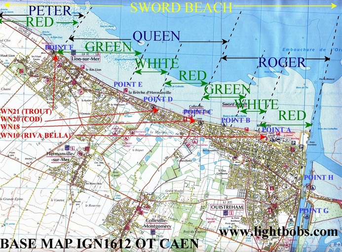
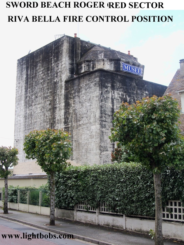
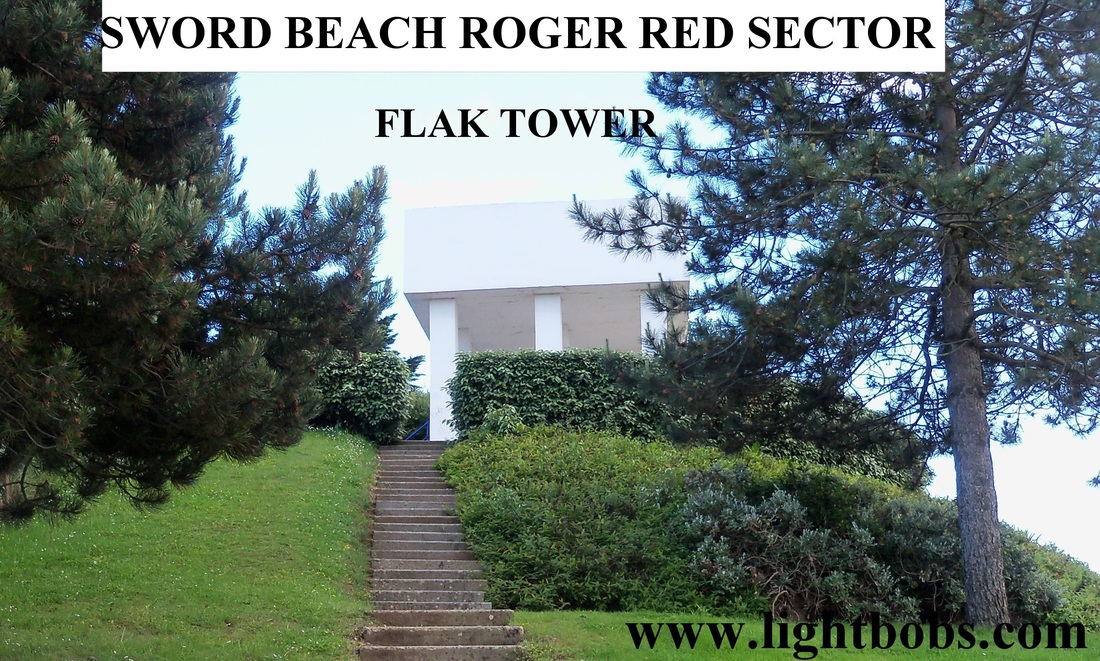
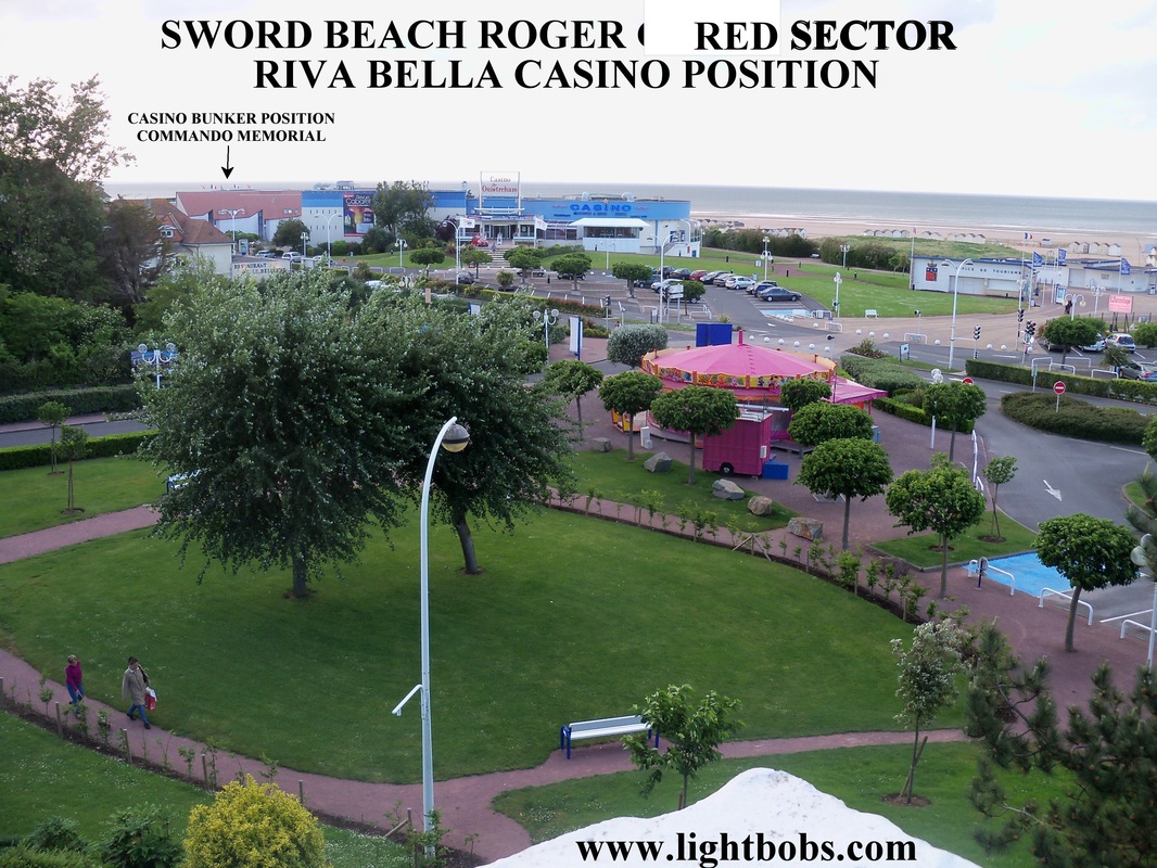
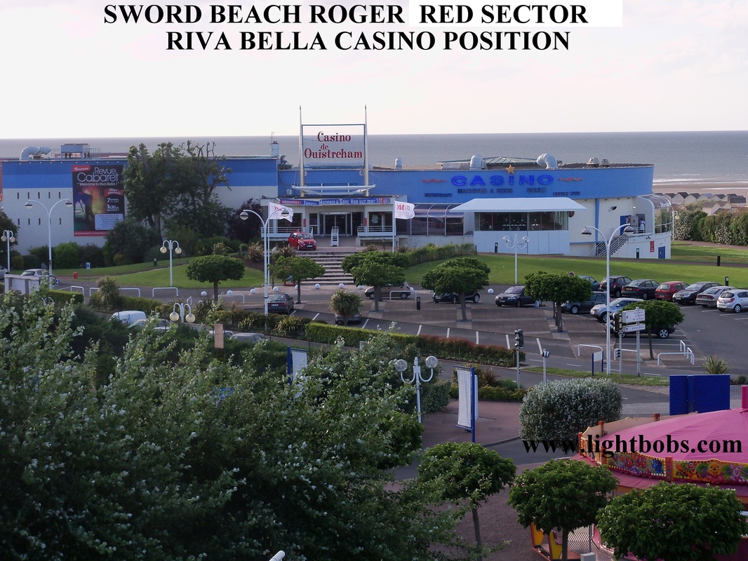
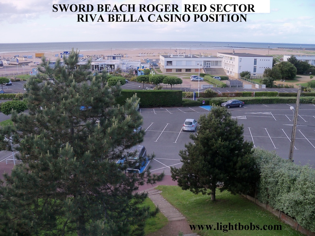
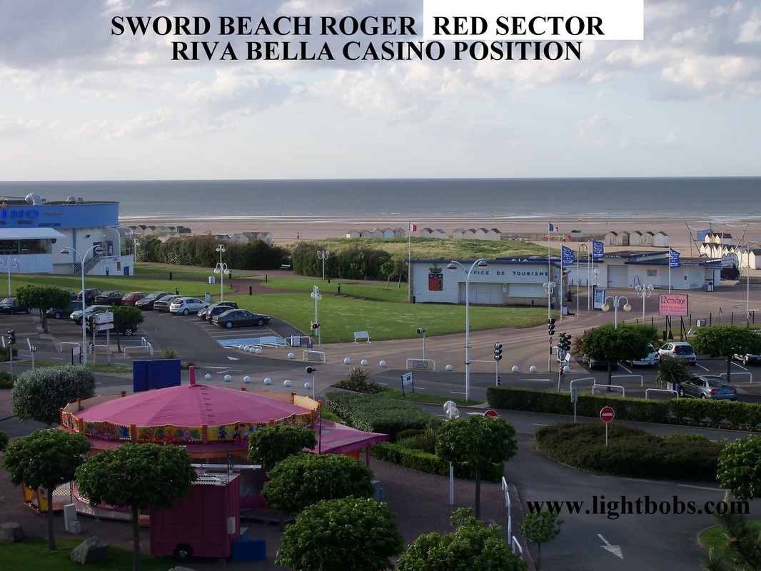
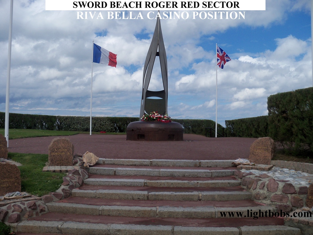
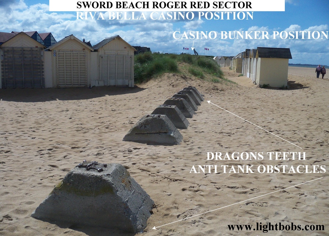
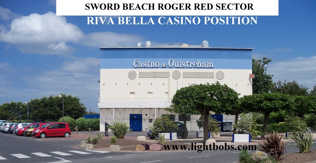
SWORD BEACH ROGER RED SECTOR - RIVA BELLA & CASINO POSITIONS (Point A)
|
|
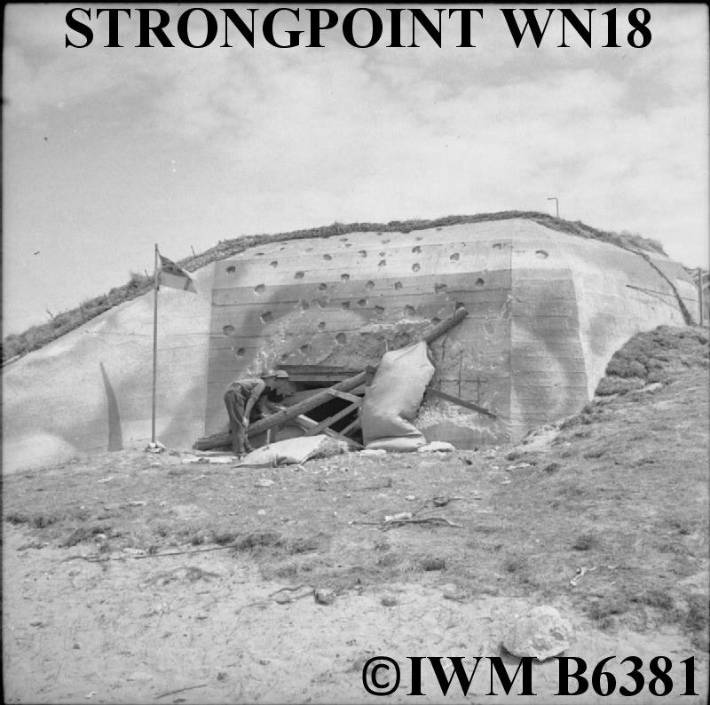
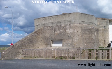
SWORD BEACH ROGER GREEN SECTOR - STRONGPOINT WN18 (Point C)
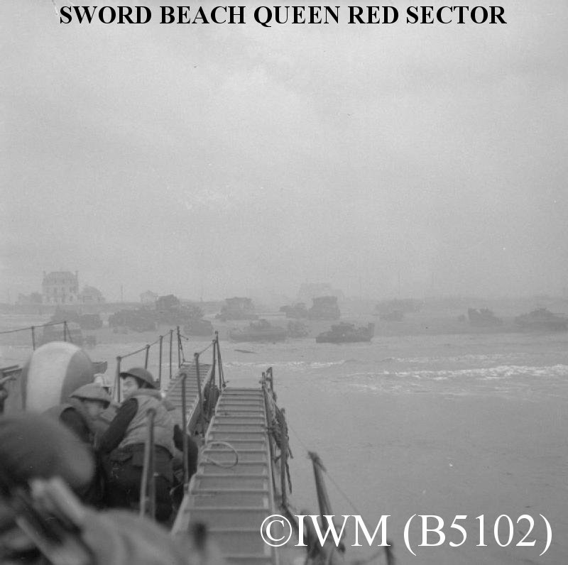
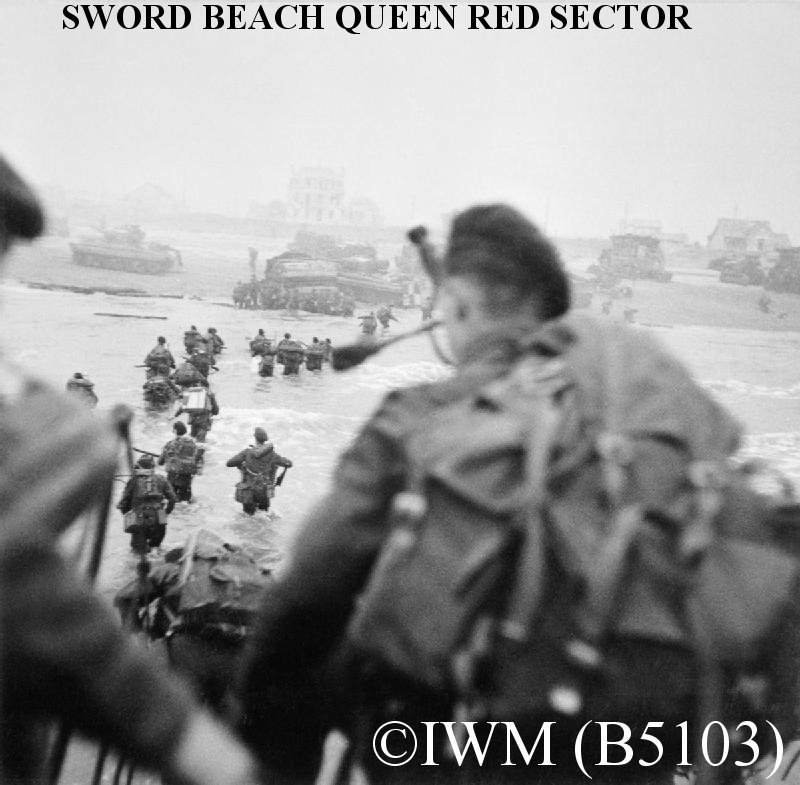
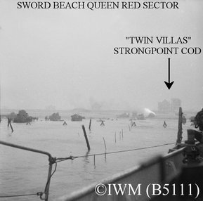
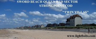
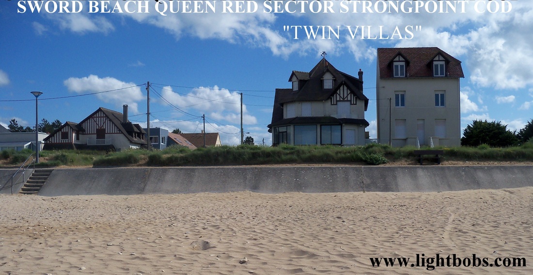
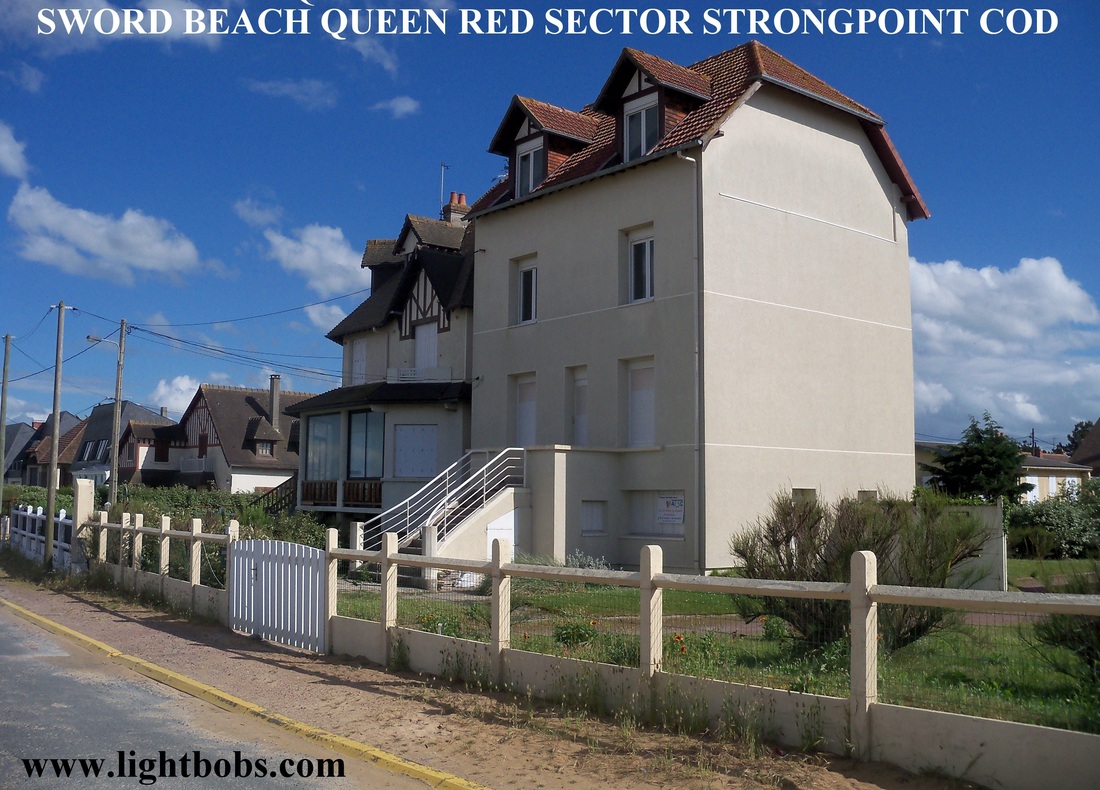
SWORD BEACH QUEEN RED SECTOR - STRONGPOINT WN20 (COD) (Point D)
|
|
|
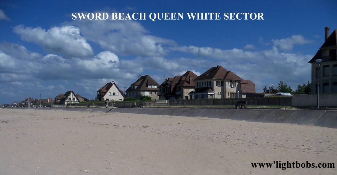
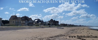
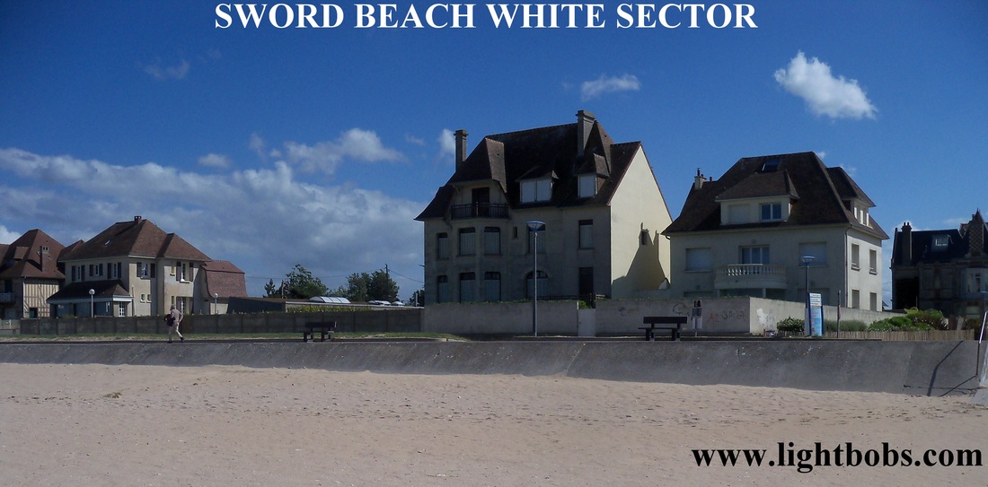
SWORD BEACH QUEEN WHITE SECTOR (Points D & E)
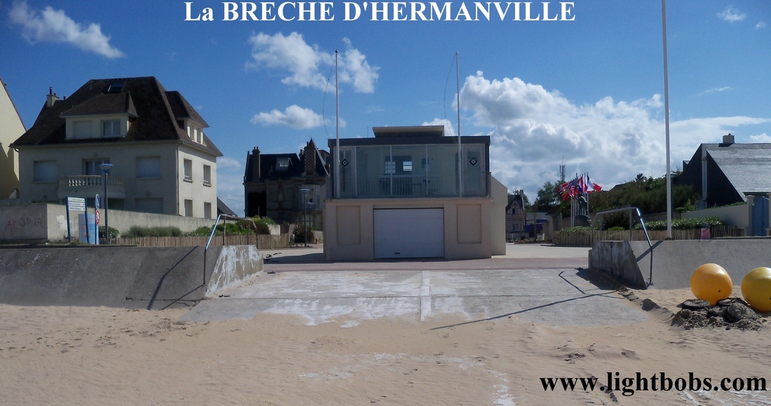
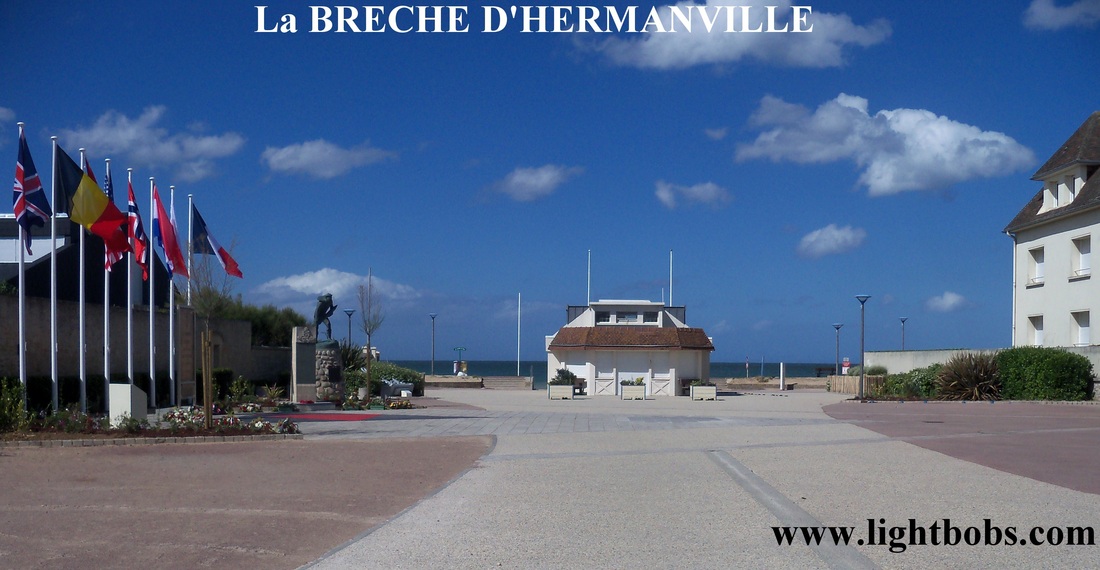
SWORD BEACH - La BRECHE D'HERMANVILLE
JUNCTION OF QUEEN WHITE & QUEEN GREEN SECTORS (Point E)
JUNCTION OF QUEEN WHITE & QUEEN GREEN SECTORS (Point E)
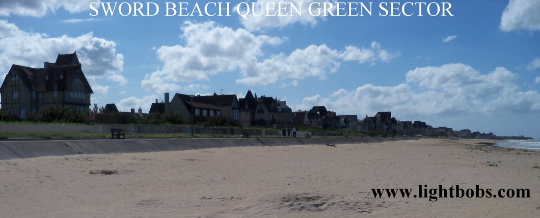
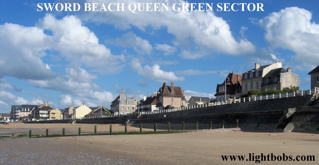
SWORD BEACH - QUEEN GREEN SECTOR - LION SUR MER (Points E & F)
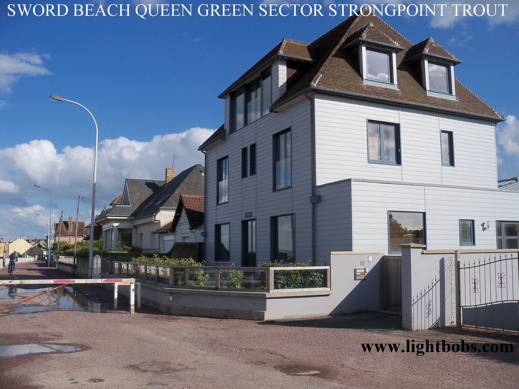
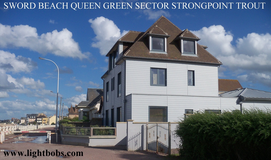
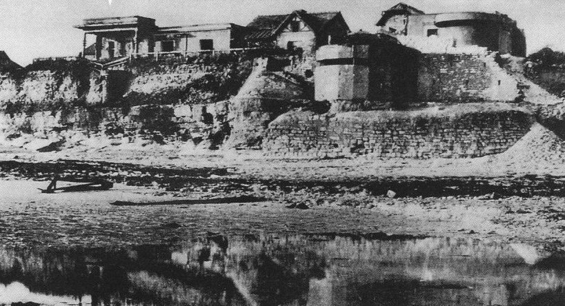
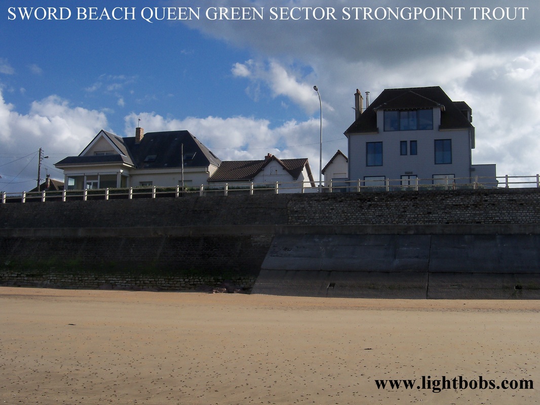
SWORD BEACH -QUEEN GREEN SECTOR - STRONGPOINT WN21 (TROUT) (Point F)
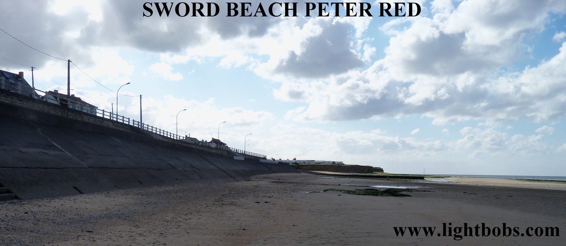
SWORD BEACH - PETER RED SECTOR (Point F)
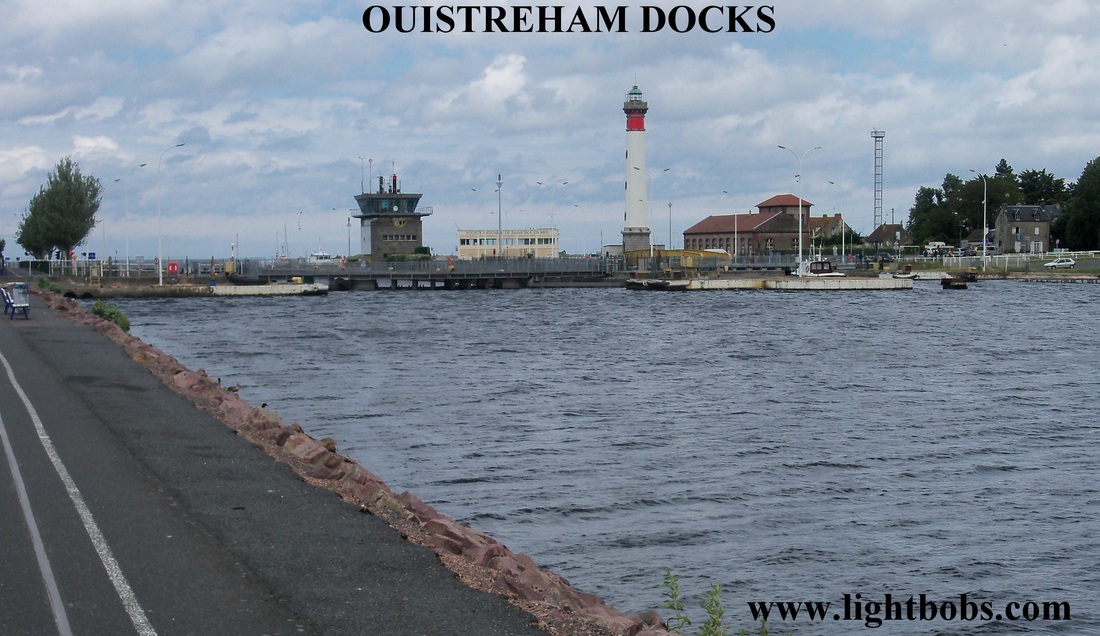
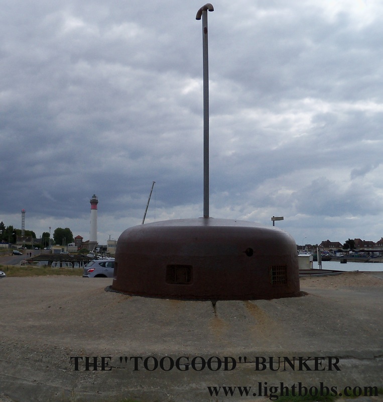
OUISTREHAM DOCKS AREA (Points G & H)
Proudly powered by Weebly
